

On the Cutting Edge of Survey Technology
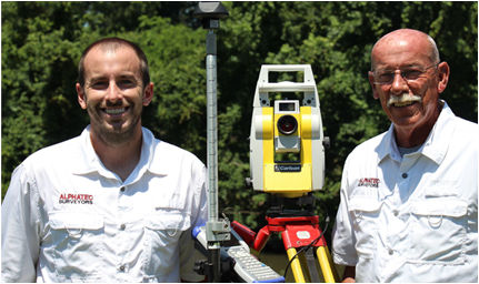
Since 1995, Hampton Road’s surveyors – Alphatec Surveyors – has provided professional surveying support to real estate developers, mortgage title entities, engineers and home owners in Southeast Virginia and nearby counties in North Carolina.
No matter the size and complexity of the job site and requirements, you will experience the same level of dedication and expertise from our staff. We invite you to review our survey services and the various components of technology we utilize in delivering precise survey data and imagery to our clients.
Mortgage Related Surveys

The Hampton Roads region’s varying land and water topographies sometimes provide unique surveying challenges to satisfy mortgage lending requirements. We professionally perform a wide variety of residential surveying requirements as follows:
Topographic Surveys
Experts in the Latest Survey Technology Increasing Productivity, Safety & Client Satisfaction
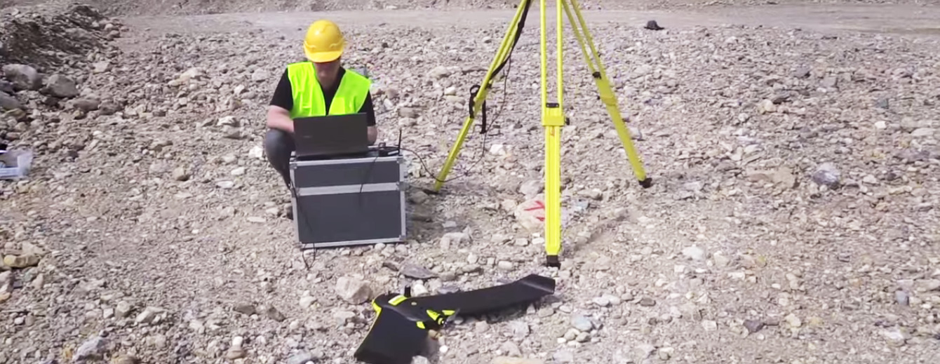
Alphatec Surveyors is the leader in the Southeast Virginia region for the latest surveying and mapping technology. We are all about delivering the highest quality service and products in the fastest possible time for our clients who require topographic engineering and construction surveys.
Alphatec Surveyors uses the combination of cutting-edge GPS and unmanned aerial systems (UAS) for large area 3D digital terrain modeling and aerial imagery mapping. We produce and deliver detailed topographic 3D models, survey photography and orthophotography.

Machine Control Surveys
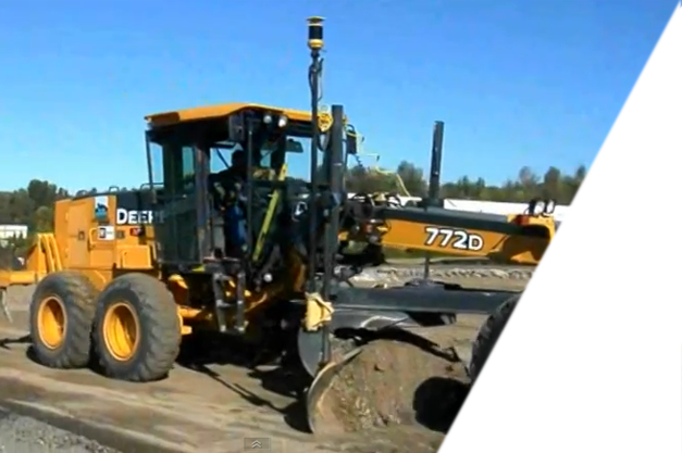
Fast, Safe & Extremely Accurate Site Surveying
Alphatec has adopted the latest in machine control technology to ntegrate 3D modeling files for use in GPS-equipped earth-moving equipment. This technology has revolutionized construction surveying by essentially setting precise construction equipment digging and grading control points for large area construction projects.
When conducted by skilled surveying professionals, the result is a substantial savings in time and money as well as incredibly accurate site preparation for depth, grading and drainage requirements.